
Trace a Shoreview Street Directory
A street-by-street search works best when each source keeps its own job. Start with an exact Shoreview address, then retain the parcel ID and legal description that connect map, assessment, and recorded-document results. The current tax record field is a property clue, not proof of an occupant. A recorded instrument can name parties to a transaction, while a voter result can only confirm an individual registration through its restricted process. Dated telephone material can supply a historical household lead, but it is not current evidence.
- Open the Ramsey County property tax and value lookup with the street address or parcel/property identifier. Select the matching parcel under Property Search Results and copy the displayed parcel and legal-description details.
- Enter the address or parcel in MapRamsey. Compare the mapped parcel, nearby lots, roads, and imagery before assuming two similar addresses are the same place.
- Use RecordEASE with the address, legal description, grantor, grantee, or tract-book path. Inspect the instrument and its date, not just an index result.
- If an individual needs to confirm a registration, use the Minnesota voter lookup with the required identity and address inputs. It is an individual confirmation tool, not a public street roster.
- For a dated household lead, ask MNHS for the Shoreview telephone-book shelf or fiche material, or use its paid directory-search request. Record the year and whether the result came from white or yellow pages.
Ramsey County’s Recorder and Registrar of Titles also provides a Property Records Resource Center for older index books, image groups, tract books, or a result that is not available through the online workflow. That counter route is important when the address alone does not resolve the instrument trail.
Shoreview Street Directory Search Fields
The county’s property entry page describes the address and parcel paths, but it does not publish a complete list of every live Beacon control. Use only the labels the county identifies, and preserve the labels shown in a result. A field called current taxpayer or legal party should remain exactly that, because it does not establish who occupies a Shoreview address.
| Field or control | Use in a Shoreview street search | Official note |
|---|---|---|
| Parcel/property identifier | Direct parcel lookup | Exact live Beacon label and format were not located. |
| Street address | Find a property candidate | County describes address lookup; unit and ZIP controls were not captured. |
| Property Search Results | Select the matching parcel | County workflow instruction. |
| Pay Property Tax | Payment button after selection | Payment terms and login behavior were not located. |
| Advanced valuation/history fields | Possible live-app detail | Full field list, required status, sorting, export, and date range were not located. |
For help with the record family rather than the map, Ramsey County Property Tax, Records & Election Services lists 651-266-2222. The county assessor maintains market-value, classification, and field records, while the Recorder keeps recorded land instruments. Those are separate roles in a Shoreview street directory search.
Shoreview Street Directory Terms
Keep the address terms separate before connecting records. The parcel and its physical location help locate a Shoreview property, while the legal description identifies the land in recorded instruments. A mailing address can be a tax-bill destination or other contact address and is not proof of occupancy at the physical parcel.
- Parcel
- The mapped property unit used in county assessor and GIS research, commonly reached by a parcel or property identifier.
- Situs address
- The physical parcel location used to identify the property, distinct from a mailing address.
- Plat
- A recorded addition or subdivision map that can be searched in RecordEASE by addition, plat code, or name.
- Criss-cross directory gap
- No official source located a maintained Shoreview reverse or criss-cross directory. Do not assume an address-order volume exists.
Preserving these distinctions keeps address research useful without recasting a tax, map, or directory field as a household record.
Map Shoreview Streets and Parcels
MapRamsey supplies the geographic layer for Shoreview address research. Its county description includes parcel classifications and valuations, current and historic aerial or oblique imagery, points of interest, environmental information, administrative boundaries, and recreation features. Use a mapped parcel to orient the address and inspect nearby parcel IDs. It is not a survey, a title opinion, or a household list.
The viewer’s official service layers include ZIP Codes FeatureServer/14 and voting districts FeatureServer/10. Those layers answer different questions. A ZIP polygon does not establish a city limit, and a voting district identifies geography rather than a person. Ramsey County election maps provide an additional address and precinct route when a street falls near a boundary.
Ramsey County’s election-maps page is the source for this Shoreview address-record reference image.
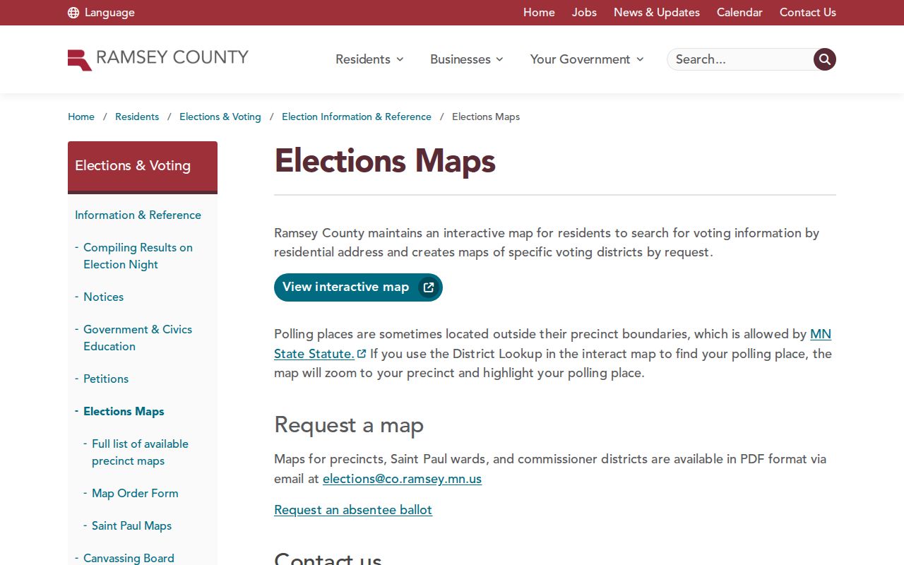
Use the map to confirm precinct or boundary context, then return to the parcel, permit, or recorded-document source that holds the actual record.
Note: A polling place can sit outside a precinct boundary, so a polling-place address is not a residence signal.
Shoreview Street Permits and Activity
The city’s building permits and inspections route gives a local address-history path for building, electrical, HVAC, plumbing, grading, and zoning activity. It also posts monthly issued-permit PDFs. An address history can place a deck, garage, remodel, fence, or other project in time. It cannot establish that a permit applicant remained at the address.
Applications may be sent by email, mail, or drop-off to the Building Division at City Hall. The city says plan review typically takes 10 business days, and inspection requests are due three working days ahead with the address, phone number, and inspection type. For a missing municipal record, use the Shoreview request-information route with a defined address, date range, and department rather than asking for a newly compiled block list.
Shoreview’s permit-applications page is the source for this address-record image.
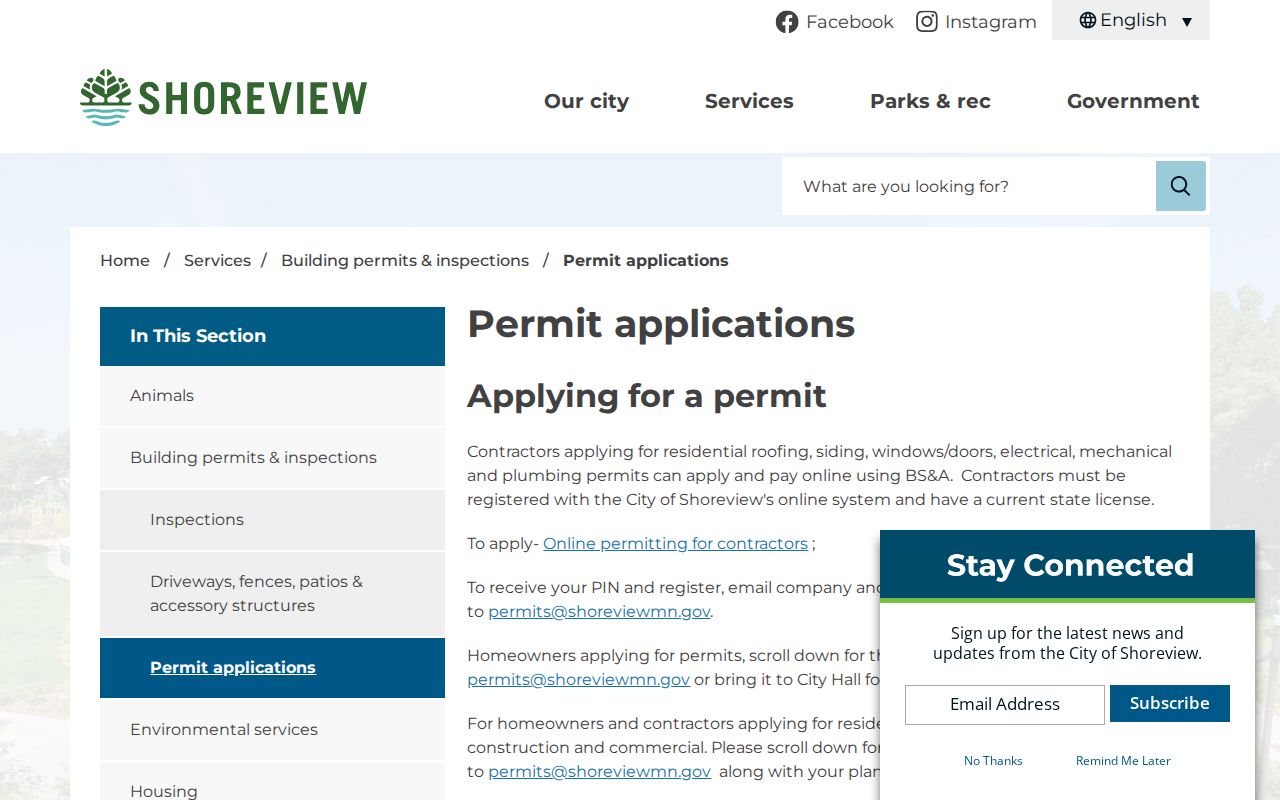
Permit activity is most useful when paired with its date, project type, and the address shown by the city.
RecordEASE Along Shoreview Streets
For a Shoreview address trail built around land records, RecordEASE is the official index path. Ramsey County describes deed and abstract indexes, tract books, plats, and self-authenticated address or property searching. A complete address trail may require grantor or grantee names, a legal description, a tract book, a deed or abstract index, a plat, and reference-document searches. The online workflow requires a customer login.
A county sample result can show land type, document number, recorded date and time, whether title transfers, document name, reference documents, grantors, grantees, legal descriptions, and notes. It may return a warranty deed, mortgage, assignment, satisfaction, order, or transfer-on-death deed. None of those result types alone proves present occupancy. The county warns that map displays may omit encumbrances and that descriptions can reach beyond a selected parcel.
Ramsey County RecordEASE is the source for this Shoreview deed-index image.
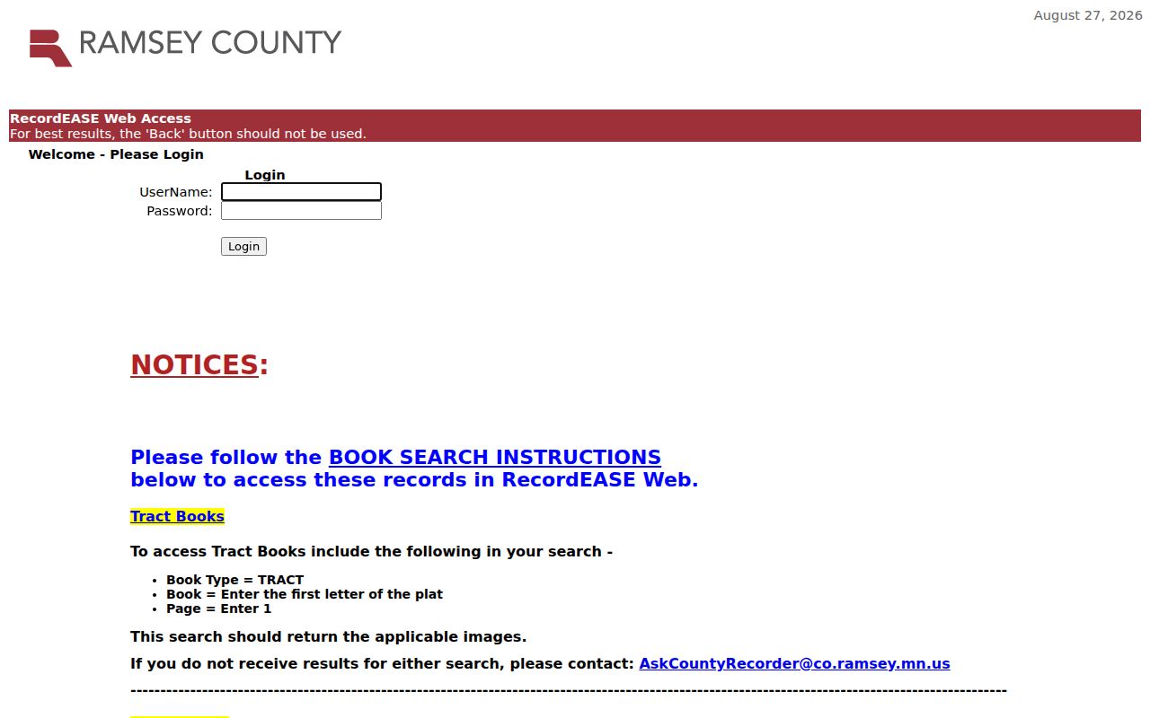
Record the document number, recorded date, and reference links before moving backward through a deed chain.
RecordEASE instructions list a $25 monthly customer subscription, $0.85 per document search, and $1 per document, certificate, or plat view. Confirm current prices before payment. Older index-book images can arrive in 25-page PDF groups, and the service warns users not to use the browser Back button.
Shoreview Street Records at the Counter
Online search is only one channel. The Recorder’s recorded-document access page routes users to RecordEASE or the Property Records Resource Center. Use the in-person channel when staff help is needed with an older index book, an image group, a tract-book path, or document retrieval. The Recorder’s office contact is 651-266-2050.
A tract-book search has its own county instructions: use TRACT as book type, the first letter of the plat as the book, and page 1. Plats can be searched by addition, plat code, or name and then opened through the Plat Map route. Preserve the legal description with every result because a street label by itself can be too broad.
Ramsey County’s recorded-document access instructions are the source for this address-record image.
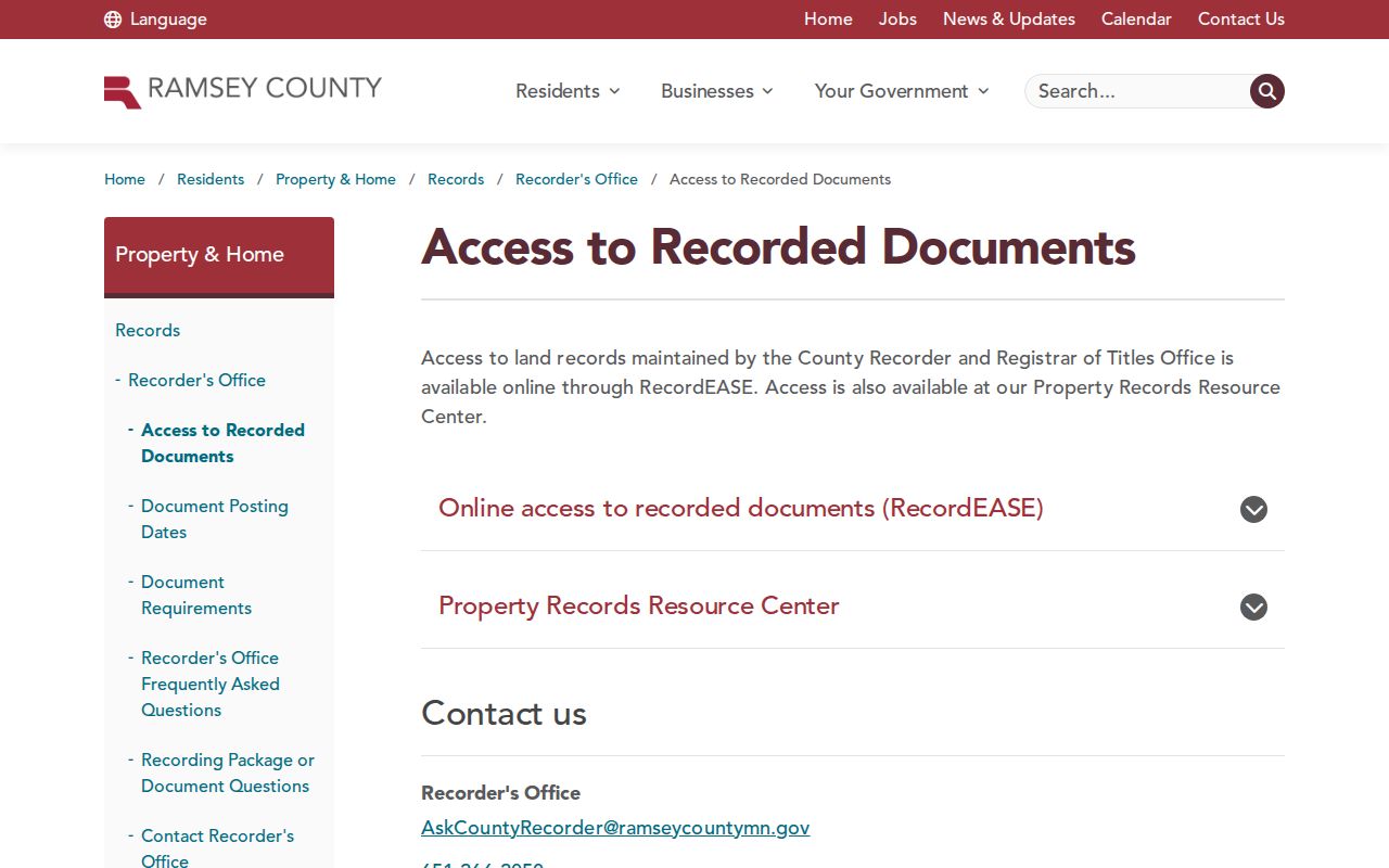
The counter route complements the index when an address search does not expose the older material needed to understand a parcel.
Check Shoreview Streets, ZIPs, and Precincts
Shoreview address research needs separate checks for the street, the postal label, and election geography. ZIP 55126 is the principal standard ZIP associated with Shoreview, while 55127 is a partial edge area that also serves nearby communities. The USPS preferred city can differ from the physical municipality. Use the USPS ZIP Code Lookup for an exact delivery address, then compare it with MapRamsey’s parcel and municipal context.
MNVotes also supports a ZIP route, but it requires ZIP code, city or township, house number, and street in addition to first name, last name, and complete date of birth. Last names cannot include diacritics or Jr./Sr. suffixes. Its individual confirmation is updated nightly, while officials can have up to 14 days for changes. A non-match is not proof that a person does not live at a Shoreview address.
For a permitted voter-list request, Minnesota law requires a registered Minnesota voter, identification, and a signed use certification. The state form can provide a walking list sorted by street, but it has statutory restrictions and cannot be reposted as a searchable public list.
Shoreview Street Directory Record Coverage
Each address-keyed source contributes a distinct record layer. Chain the parcel ID and legal description to recorded documents, use the city address for permit activity, and use maps only for geographic context. The table identifies what the relevant Shoreview address records can and cannot establish.
| Address-keyed record | Custodian | What it can show | Access channel |
|---|---|---|---|
| Assessor or Beacon record | Ramsey County assessor | Parcel, value, classification, and current field data | County entry page and live application |
| MapRamsey parcel view | Ramsey County GIS | Geometry, imagery, nearby parcels, and layers | Public viewer and GIS services |
| Recorded instrument index | Ramsey Recorder | Dated document, parties, legal and reference fields | RecordEASE or resource center |
| Permit history | City of Shoreview Building Division | Address-linked project and inspection activity | City route, monthly PDFs, email, mail, or counter |
| Election geography | Ramsey Elections | Precinct, ward, or commissioner area | County maps and address tools |
| Telephone holdings | Minnesota Historical Society | Dated white-page or yellow-page lead | Finding aid, shelf or fiche request, or paid search |
For historical household research focused on the collection rather than the current address chain, use the Shoreview city directory collections. The MNHS telephone holdings have format gaps and cannot be substituted for a current street roster.
Shoreview Street Directory Map Anchors
Street names are useful search anchors when an older address is hard to place. The official Shoreview firebox map labels Lexington Avenue N, Hodgson Road, Highway 96 W, Victoria Street N, County Road I W, and I-694 with water, parks, response grids, and the city boundary. Ramsey County Enterprise GIS prepared the map with a September 30, 2025 reference date. It is a street-orientation aid, not a legal survey or historical address map.
There is no official Shoreview street-renaming or street-renumbering chronology located. If a former address does not map cleanly, compare the dated directory or telephone entry, plat or deed legal description, historic aerial, and present map. Treat a reconstructed match as an inference. Shoreview’s development from rural farms and lake cottages toward later subdivisions makes that date-by-date comparison especially important.
Note: A firebox or 911 map should never be used to turn a current street label into an undocumented historic address.
Limits of a Shoreview Street Directory
Street and address records can connect public information, but they cannot turn it into a complete list of private residents. A current taxpayer, permit applicant, deed transferee, or voter match is not automatically a current occupant. Protected addresses, classified data, incomplete fields, and date gaps all require restraint. Minnesota Safe at Home participants may use a designated address, and their actual location must not be reconstructed from parcel or voter material.
Lawful use. Use Shoreview address records for personal, lawful research and preserve each source’s limits. Do not use public information to stalk, harass, intimidate, or harm anyone.
For public government data not available through a portal, the Minnesota Government Data Practices Act, especially Minn. Stat. §13.03, provides the request framework. Ask the custodian for a defined existing record and date range. The city or county may classify some fields differently, and the original custodian is the right place to ask about correction or access.