
Shoreview ZIP Coverage
The Shoreview ZIP code directory begins with postal geography, which does not match the city boundary. County GIS identifies 55126 and 55127 as relevant ZIP-feature values. The first is the principal standard ZIP associated with Shoreview. The second is a partial edge area that also serves surrounding communities and appears on some Shoreview-address records. Other county-layer values can be Saint Paul government or central-delivery geography rather than a normal Shoreview address. Use the exact delivery result and parcel context before assigning a city label.
| ZIP | Areas Covered | Post Office | Notes |
|---|---|---|---|
| 55126 | Principal Shoreview-associated area; also parts of Arden Hills, North Oaks, Roseville, and White Bear Township | USPS preferred city can be Saint Paul for a Shoreview physical address | County layer includes it; it is not a municipal boundary |
| 55127 | Partial edge area around Shoreview, North Oaks, Vadnais Heights, Little Canada, and White Bear Lake | Preferred city varies by exact address | Some Shoreview addresses use it; no city-limit percentage or definitive crosswalk was located |
| 55130 | Saint Paul government or central-delivery context in the county layer | Confirm with USPS for an exact address | Not a normal Shoreview residential ZIP located |
| 55155 | Saint Paul government or state-delivery context in the county layer | Confirm with USPS for an exact address | Layer value, not evidence of Shoreview coverage |
| ZIP+4 | Address-specific carrier-route extension | Assigned by USPS for the exact delivery address | No Shoreview-wide ZIP+4 inventory was located |
A ZIP-level filter can produce candidate records. It cannot settle whether an address is inside Shoreview, which postal city should appear on mail, or who belongs to an address.
Map Shoreview Postal Geography
Ramsey County’s MapRamsey ZIP feature service exposes 55126 and 55127 as county map values. The layer supports geography and query work, not a resident roster. Pair it with MapRamsey parcel context, which can show parcel geometry, current and historic imagery, administrative boundaries, points of interest, environmental information, and recreation features. GIS is a spatial index. It is not a legal boundary determination and cannot replace the recorded instrument held by the Ramsey Recorder.
The official county ZIP-layer capture appears below.
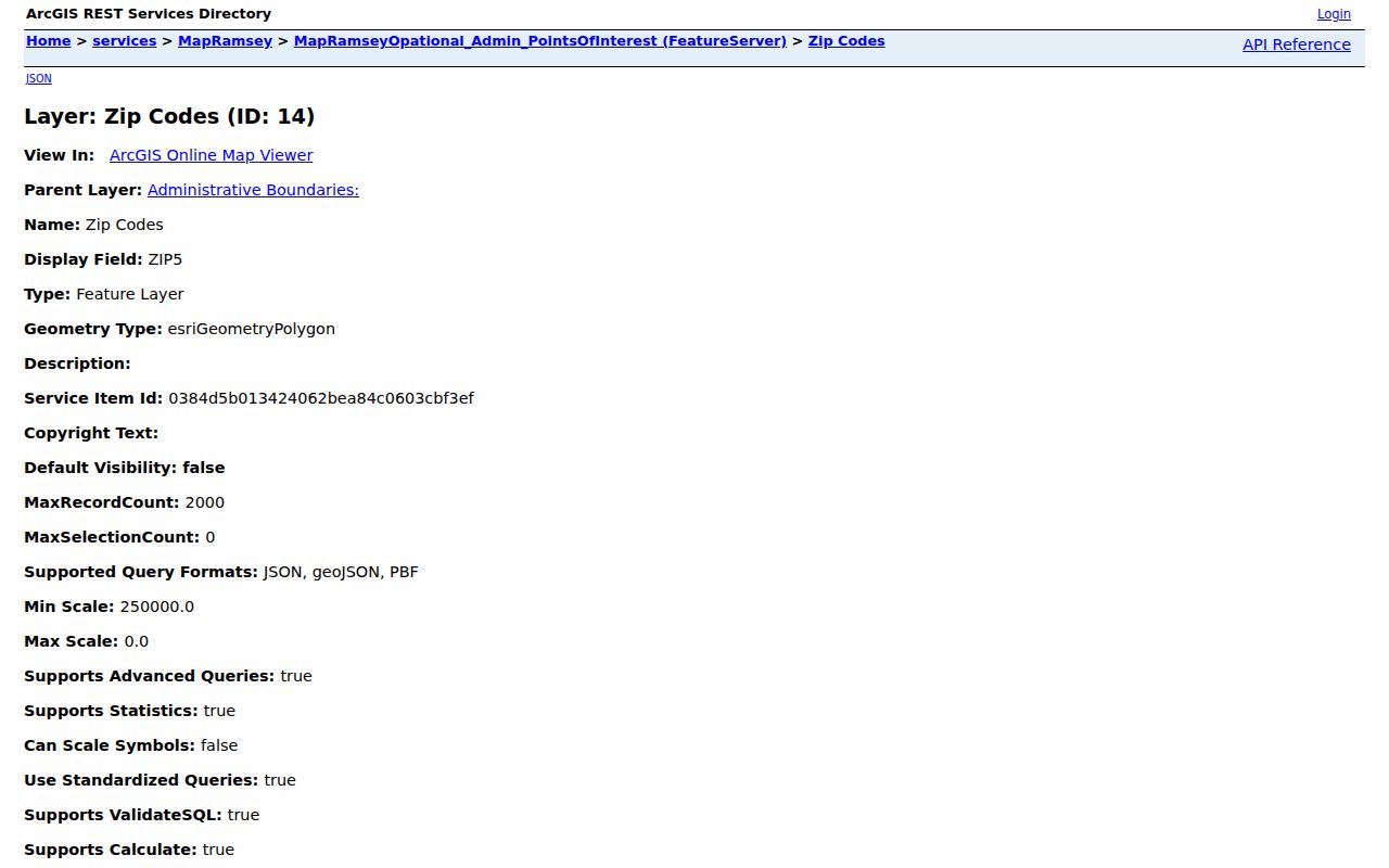
Use the layer to see postal context, then retain the parcel ID or street address for the next record system.
Note: A ZIP polygon can cross a city boundary, so it is useful for orientation but not for deciding municipal status.
Check Shoreview Postal Addresses
A complete-address sequence resolves the local mismatch more reliably than a ZIP-only search. Start with the street number and street name. Run that exact delivery address through USPS. Next compare the returned postal city with the physical city or township and parcel in MapRamsey. Then check the county ZIP layer for geography, not identity. Finally, use the system that holds the needed fact, such as a parcel record, permit history, recorder instrument, or individual voter confirmation. Do not reverse the order by trying to infer a person or a city from a postal label.
- Enter the exact street address in the USPS address lookup and retain its delivery result.
- Use the county geocoder or MapRamsey to compare the address, city or township candidate, and parcel context.
- Check the MapRamsey ZIP layer to see whether 55126, 55127, or another delivery geography is relevant.
- Use parcel, legal-description, case, permit, or voter fields for the actual research question rather than treating the ZIP as a universal key.
- For an old address, compare a dated directory, plat, deed, and aerial image, and label a reconstructed address as an inference.
The USPS tool is the final delivery check for a specific address. Research did not capture a stable Shoreview result screen, so the portal’s current response should control the mailing label.
The official USPS lookup capture shows the service used for that final address check.
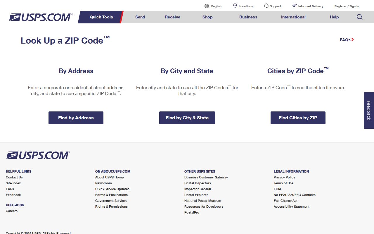
That result should be compared with county parcel geography rather than used alone to label an address as inside Shoreview.
Search Shoreview ZIP Fields
MNVotes accepts ZIP as one route in its individual registration confirmation flow. It is not a search of everyone in a ZIP. The ZIP route still requires the person’s name, full date of birth, city or township, house number, and street. The form has controls to switch between ZIP and county search, plus a Find your registration button. A complete result can confirm a submitted combination; it cannot establish a public ZIP-wide list of residents.
| Field | ZIP-route use | Required or format note |
|---|---|---|
| First name | Identity field | Required |
| Last name | Identity field | Required; letters, spaces, hyphens, and apostrophes accepted, without diacritics or Jr. or Sr. |
| Month, Day, Year | Date of birth | All three parts required |
| ZIP Code | Postal search route | Required alternative to county |
| City or township | Address context | Required with ZIP route |
| House number and street | Address match | Required with ZIP route |
| Unit number | Apartment or unit detail | Required only when the apartment or unit checkbox is selected |
The Secretary of State’s county election-office locator provides the routing path for Ramsey Elections when a form or local election contact is needed.
For a list request, Minnesota law adds voter status, identification, certification, fee, delivery, and use limits. The available geography choices include city or town and precinct formats, not a free public ZIP roster.
Separate Shoreview ZIP Boundaries
Postal city and municipality are different labels. A Shoreview physical address can have Saint Paul as its USPS preferred postal city. Conversely, 55126 reaches into nearby communities. ZIP 55127 is the most important edge case: it serves a mixed surrounding area and is documented on some Shoreview-address records, but no official city-page percentage or definitive city-limit-to-ZIP crosswalk was found. Describe it as a candidate postal area, never as a blanket Shoreview ZIP.
ZIP codes are also not precincts, wards, school districts, or county commissioner districts. Ramsey’s separate voting-district layer and election maps answer election geography. The assessor and Recorder use parcel and legal-description keys, while Shoreview permits use address and project keys. Keeping those labels in separate fields prevents a postal match from becoming a civic or property conclusion.
Use Shoreview ZIP Landmarks
Local road names make a better starting vocabulary than a broad Saint Paul label. The official Shoreview firebox map identifies Lexington Avenue N, Hodgson Road, Highway 96 W, Victoria Street N, County Road I W, and I-694, along with water, parks, response grids, and tract areas. The map carries a September 30, 2025 reference date. It is useful for orienting an address near a road or park before a parcel search, but it does not assign USPS ZIP labels or prove a boundary.
The Ramsey County interactive property map capture gives the county entry point for parcel and geographic context.
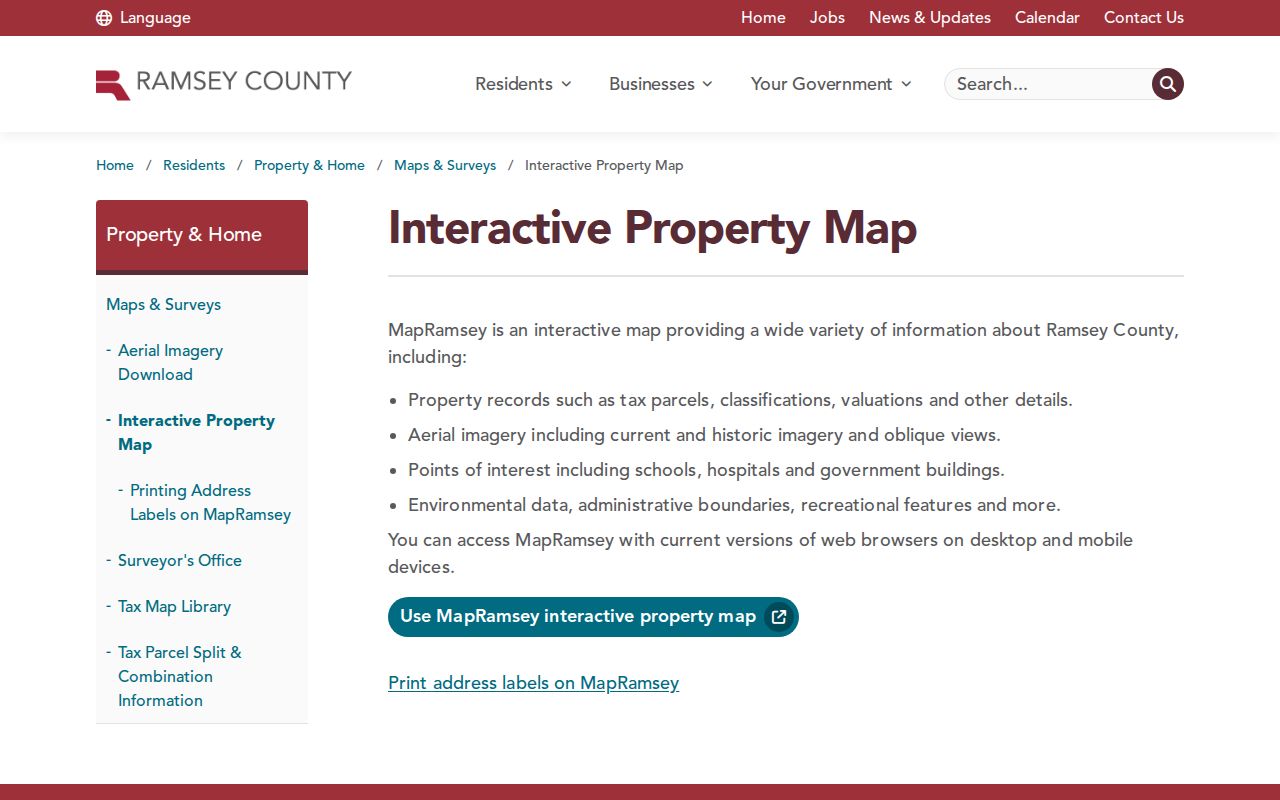
Once the exact parcel is known, the map can support a comparison with the Recorder’s legal instrument and the applicable postal result.
The Shoreview community page provides a separate civic layer with named local organizations. It should be read as community context, not as a member or household directory.
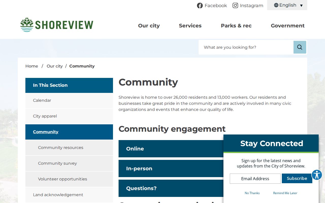
That distinction keeps a geographic search tied to its actual source and purpose.
Find Shoreview Residents by ZIP
Use a ZIP to narrow a record search only where the official system supports that address information. MapRamsey and the county geocoder provide the geographic step. MNVotes uses ZIP only as part of an individual confirmation with name, birth date, city or township, house number, and street. The assessor entry point describes parcel and address lookup, but the live Beacon application’s full ZIP controls and filter behavior were not located in official sources. A ZIP alone should never be treated as a person-search filter.
When the result narrows to a street and parcel, use the Shoreview Street Directory for the address-keyed record trail. That route keeps parcel, permit, GIS, and Recorder evidence separate from the postal label.
Note: A ZIP can narrow an address search, but a full address and a custodian record are needed for verification.
Read Shoreview Postal Terms
Postal terms describe delivery operations, while county records use geographic and legal-description terms. Keeping the vocabulary clear is especially helpful near Shoreview’s 55126 and 55127 overlap.
- ZIP
- A postal delivery area that can cross municipal boundaries and use a preferred city different from the physical municipality.
- ZIP+4
- An address-specific extension that USPS assigns for a particular delivery point or route.
- PO-box ZIP
- A ZIP used for post-office box delivery. It does not identify the physical location of every customer.
- Unique ZIP
- A postal code assigned to one institution or delivery arrangement. No Shoreview-specific unique ZIP was located in the research.
- Carrier route
- A USPS delivery grouping that helps route mail; it is not a city boundary, parcel, or resident list.
Request Shoreview ZIP Records
When an online map leaves a boundary unclear, ask the agency that keeps the record. Ramsey County GIS can address a maintained map layer or geocoder question. The Recorder can provide a recorded document or legal-description route. Shoreview Building Division can route permit history by address. Ramsey Elections can route voter forms within Minnesota’s voter-data rules. For a historical mailing label, libraries, MNHS telephone holdings, deeds, plats, and dated directories are better channels than a current ZIP polygon.
Ramsey County’s public-data request policy supports a focused request for maintained public data under the Minnesota Government Data Practices Act. Describe the layer, address range, date, or parcel key, and specify inspection or copies. The county need not create a new all-address or all-resident product. A clear request is more likely to return a reproducible record.
Limit Shoreview ZIP Claims
A ZIP result does not establish a person’s city, precinct, household, or current presence. A parcel can identify geography without proving occupancy. A voter confirmation can be protected or mismatched. A deed identifies a recorded transaction, and a permit can identify an applicant or representative. Label the source date and purpose, then verify with the custodian if a record must be relied upon. This keeps 55126 and 55127 useful for navigation without overstating what postal geography can show.