
Shoreview Neighbors, Source by Source
Shoreview does not publish a complete neighbor list. The supported block workflow begins with geography. MapRamsey can display a selected parcel, adjacent parcels, roads, public features, imagery, and administrative layers. The assessor adds property field context, while Recorder instruments link a parcel to dated documents. The city’s permit history, council packets, public-safety page, and community inventory add only their own narrow kinds of public information. Keep the source purpose visible before drawing a conclusion.
| Source | What It Shows About a Block | Access |
|---|---|---|
| MapRamsey parcel viewer | Selected and nearby parcels, roads, imagery, public layers | Public GIS viewer |
| County property lookup | Parcel, value, classification, and current field data | County entry page and Beacon route |
| Recorder index | Dated instruments, legal descriptions, grantor and grantee fields | RecordEASE or resource center |
| Ramsey voting maps | Precinct, ward, and commissioner geography | County maps and GIS layer |
| Shoreview public-safety page | Neighborhood Watch program and newsletters | City public-safety route |
| City permit history | Address-linked project and inspection activity | Building Division route |
Adjacent parcels are not a list of residents. A parcel can have a current taxpayer field, a mailing field, a recorded party, or no visible person field at all. Those categories should not be merged. Use the map to orient a Shoreview block, then ask the relevant custodian for the record already maintained.
Map a Shoreview Block by Parcel
For immediate Shoreview neighbors, begin with a single address in MapRamsey. The county describes parcel classifications and values, current and historic aerial and oblique imagery, points of interest, environmental information, boundaries, and recreation features. Select the target parcel, inspect the surrounding geometry, and preserve the parcel ID or legal description before looking for a recorded document. Map display is geographic context, not a boundary survey or a title finding.
- Normalize the street address and locate the mapped candidate in MapRamsey.
- Turn on parcel context and inspect only the nearby parcels needed to understand the block.
- Record the target parcel ID, legal description, and relevant adjacent parcel IDs.
- Use the county property lookup for property-field context, keeping its labels intact.
- Use the Recorder index only when a dated instrument or legal-description question needs an answer.
For a full named-street record chain, use the Shoreview Street Directory rather than extending a block map into a broader claim.
MapRamsey is the county viewer for a selected parcel and its visible surroundings.
Shoreview Neighbors on Local Maps
The Shoreview firebox reference map supplies local search vocabulary. It labels Lexington Avenue North, County Road I West, Highway 96 West, Hodgson Road, Victoria Street North, I-694, parks, water, response grids, and the city boundary. Ramsey County Enterprise GIS prepared the cited map with September 30, 2025 data. Use these names to narrow a map search or describe the setting of a public record. Do not treat the firebox PDF as a legal survey or proof of an address history.
Water and park features matter in Shoreview’s development story. The city history describes a shift from rural farms and lake cottages to year-round development, with I-694 accelerating postwar change. A historic aerial can show a physical change beside a road or shoreline, but a dated deed or directory remains necessary for a name-related historical claim.
Note: A map feature can orient a Shoreview block without identifying who belongs to a household near it.
Shoreview Neighbors and Precinct Geography
ZIP codes, city limits, parcels, and precincts are separate layers. Ramsey County’s election maps provide address mapping and precinct, ward, and commissioner PDFs. The county GIS voting-district service adds geographic context. Neither source is a resident list. Use it to answer which civic boundary includes an address, then rely on official election channels only for an individual registration question or a permitted request.
Minnesota’s voter lookup requires a name, full date of birth, and an address route. It confirms individual registration status and is updated nightly, with officials allowed up to 14 days for changes. A nonmatch can reflect a recent move, a name-format issue, timing, or protected-address handling. It is not proof that a person is absent from a Shoreview block.
The Ramsey voting-district layer provides the official GIS entry for precinct geography.
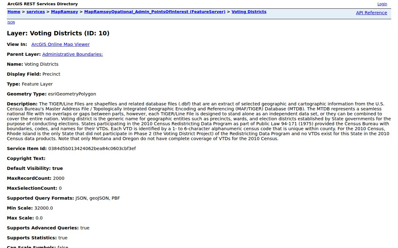
Use the layer to verify the block’s geographic district, not to infer a list of people.
Shoreview Neighborhood Watch Networks
Shoreview Public Safety says that Ramsey County Sheriff service covers the city and identifies 47 Neighborhood Watch groups, with block-captain newsletters available online. This is a genuine local community connection, but the city does not publish a complete captain or member directory. A public program count does not identify everyone on a street or show where each volunteer lives.
The right next step is to use the city’s public safety information for program context or contact routing, not to build a member roster. Public meeting packets and newsletters can be dated civic records when an official source names a participant or a topic. Keep the date and public role alongside the document instead of inferring a household relationship.
Shoreview Public Safety is the city source for Neighborhood Watch information.
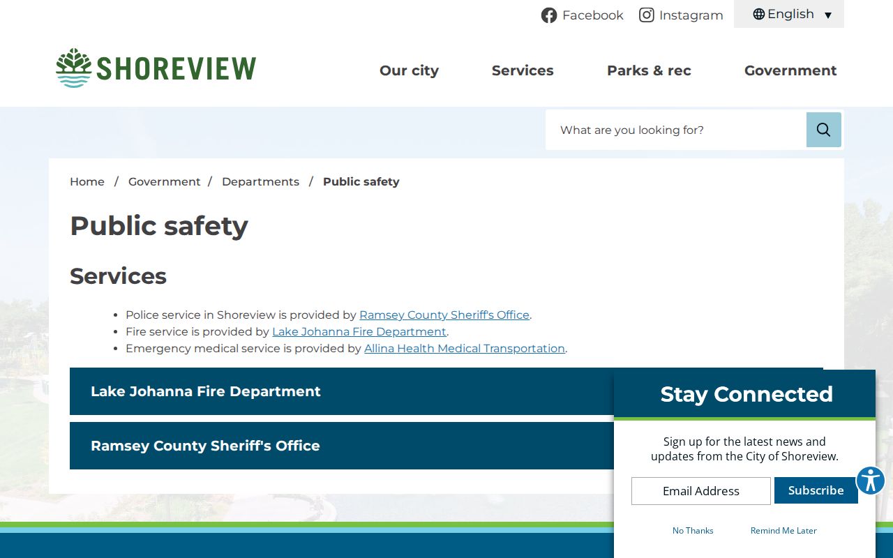
The program page supports a community-network search, while preserving the gap in public membership records.
Shoreview Neighbors in Civic Records
Shoreview’s community page identifies organizations including Arden Hills/Shoreview Rotary, Gallery 96, Shoreview Arden Hills Lions, the Community Foundation, Community Garden Club, Shoreview-Einhausen Sister City Association, Historical Society, Northern Lights Variety Band, and Slice of Shoreview Days. They are useful routes for dated programs, newsletters, and organization history. They are not a directory of private members.
The city also says that more than 70 volunteers serve across nine committees. Council meets on the first and third Mondays, and planning meets on the fourth Tuesday. Agendas and minutes can identify applicants, petitioners, officials, consultants, and commenters in a dated public matter. A public appearance still is not evidence of where a person lives.
| Public Safety | Neighborhood Watch program and block-captain newsletters; complete member directory not located. |
|---|---|
| Community page | Named civic organizations and local connections, not membership records. |
| Agendas and minutes | Dated meeting packets, videos, applicants, and public roles. |
| Committees | More than 70 volunteers across nine city committees, with current appointment information. |
The Shoreview agendas and minutes archive is the documented route for a dated civic record.
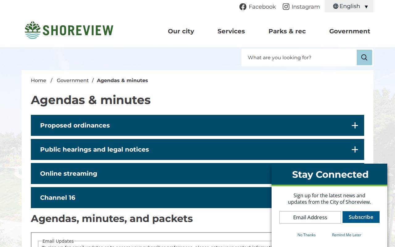
A meeting record identifies a public role in context, not a blanket connection to an address.
Shoreview Neighbor Sources Compared
Official sources make their scope visible. A parcel map is strongest for location and adjoining geometry. A Recorder instrument is strongest for a dated recorded interest. A city agenda is strongest for a public role on a specific date. Commercial neighbor-search categories may combine stale names, undisclosed source dates, or unrelated addresses. They are not a substitute for a custodian’s record and should not be used to make a private-life claim.
| Source category | Best use | Key limit |
|---|---|---|
| Official parcel and GIS layers | Block geography, parcel context, nearby features | Does not establish occupancy or legal boundaries |
| Recorded instruments | Dated parcel interests and legal descriptions | Not a full title opinion or a current-residency finding |
| City civic records | Public role, project, or meeting context | Appearance does not establish home address |
| Commercial neighbor-search category | Unverified starting hint only | May lack clear source date, accuracy, or scope |
Shoreview Block Records by Request
When a map does not answer the question, request the record that already exists. Shoreview’s public information request route is appropriate for a defined city record, such as a specified permit list, meeting packet, or public infrastructure material tied to an address range and date. The direct form’s exact fields, upload controls, fees, and timing were not located in official sources, so describe the record clearly and ask whether inspection or copies are available under Minnesota chapter 13.
County-held material should go to the county custodian. The Recorder handles instruments, GIS answers geographic questions, and the Building Division handles permit information. Ramsey County’s data-practices policy allows inspection of public data without charge and sets copy rules, but it does not require an agency to create a new all-residents list. Requests that preserve an address, date range, and record family are more reproducible.
Shoreview’s public information request page is the city route for a defined municipal record.
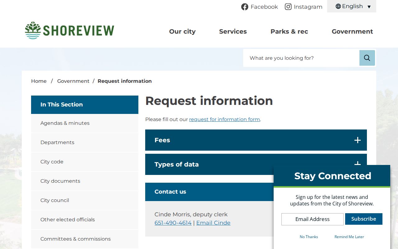
A focused request directs staff to a maintained record rather than asking them to compile a new neighbor list.
Shoreview Neighbors and Permit Activity
The city’s residential permits and licenses page covers animal, block-party, and overnight-parking routes. The building page separately handles address-based construction, inspection, and permit history. These materials can explain a public project or temporary activity connected to a location, but a permit applicant, contractor, or responsible contact should not be relabeled as a neighbor.
For a block question, record the address, date, permit type, and source page. That limited description is much stronger than an inference about a private household. The city documents that overnight parking is normally restricted from 2:00 to 5:00 a.m.; permits can cover up to seven days and five vehicles when requested in the stated timeframe. It remains a temporary activity record, not an identity record.
The residential permits page identifies the city’s limited, category-specific routes.
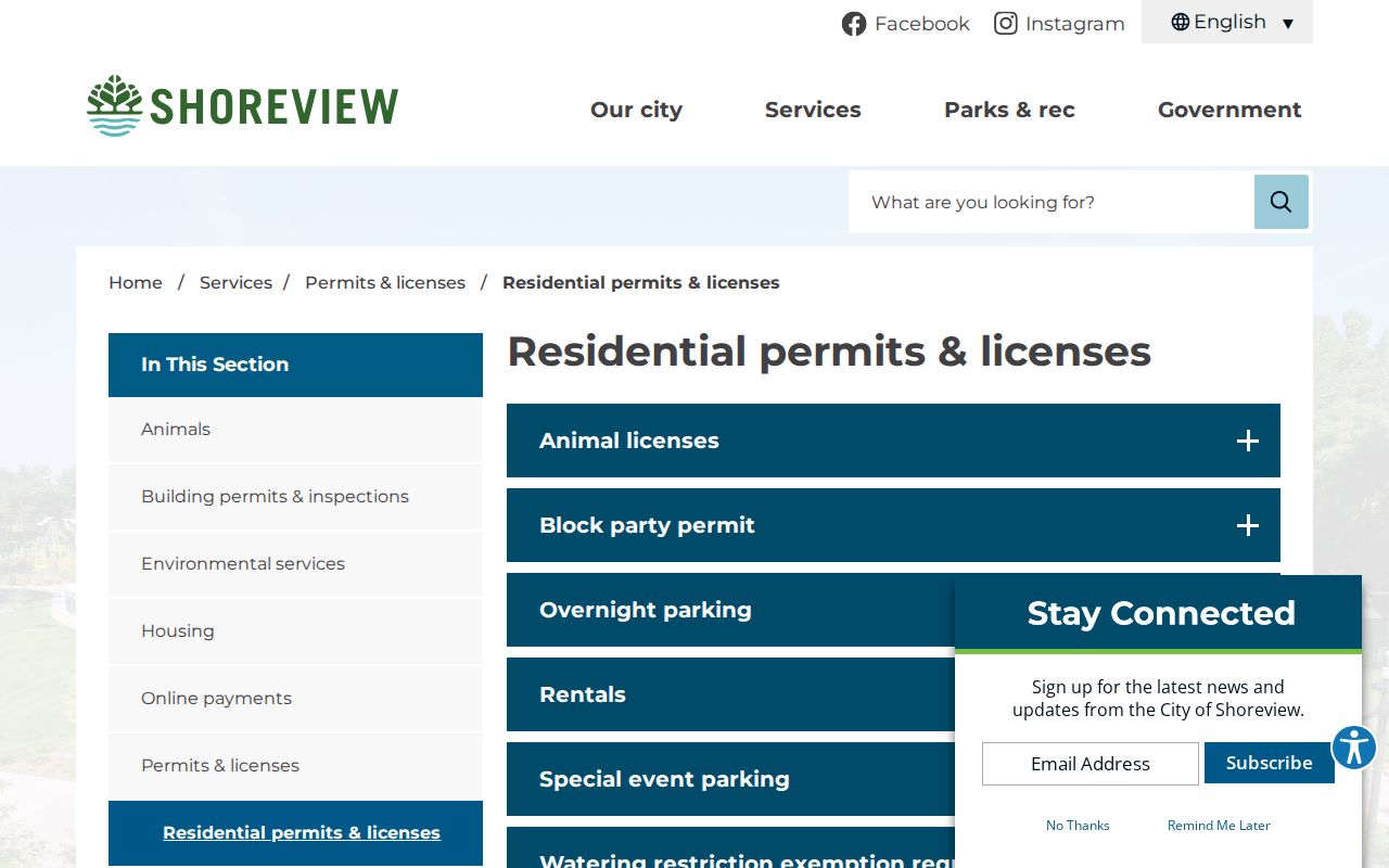
Permit categories can explain an address-linked public activity without naming or assuming a household.
Shoreview Neighbors Have Privacy Limits
Public does not mean unrestricted. The Minnesota Government Data Practices Act presumes public access only where another law does not classify data differently. Voter data have specific use restrictions, court and vital records have separate protections, and Safe at Home can use a designated address for eligible participants. A missing or alternate address can be a privacy feature, a timing issue, or a source limitation. It should never become an invitation to search around the protection.
Minnesota Safe at Home is the official address-confidentiality route. It serves survivors of domestic violence, sexual assault, stalking, and other qualifying people through a designated address. City and county records requests also cannot compel an agency to disclose classified information or create a new roster.
The Safe at Home program explains the state’s official confidentiality route.
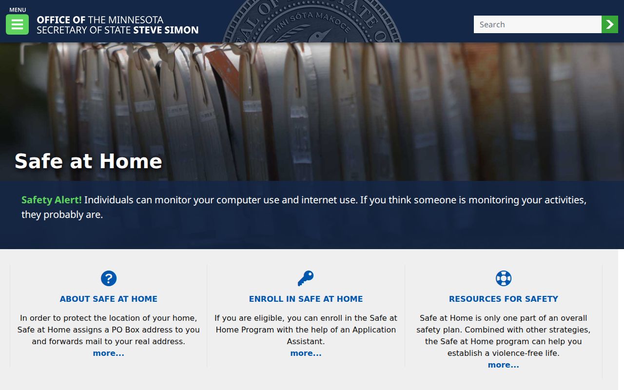
Privacy programs are part of an accurate Shoreview neighbor search, not evidence that a record is wrong.
Lawful use. Shoreview neighbor research can support civic curiosity, family connections, and a better understanding of a block. Do not use any record or map to stalk, harass, intimidate, or harm another person.
Note: Keep each finding tied to its source date and public purpose, especially when a block record mentions a name.