
Shoreview Previous Residents by Era
There is no single Shoreview roll of past households. The useful record changes with the era. Ramsey Recorder instruments provide dated transfer and legal-description clues, while the county valuation dataset supplies a bounded parcel layer from 1998 through 2019. Shoreview permit material can show work at an address, but an applicant may be a contractor or representative. For household evidence, the Minnesota Historical Society telephone-book holdings are more direct because a white-page entry can tie a dated surname to a street address.
| Source | Years It Covers | Where Held | What It Shows |
|---|---|---|---|
| Ramsey recorded instruments | Dated history; complete online start not located | RecordEASE or Property Records Resource Center | Transfers, liens, mortgages, legal descriptions, references |
| Tax valuation by parcel | 1998–2019 | Ramsey County open-data portal | Parcel, address, property type, value, current-oriented taxpayer fields |
| Shoreview telephone books | 1958–2011, with format gaps | MNHS finding aid and physical holdings | Dated surname, telephone, street, or business lead |
| MNHS state census | 1849–1905 | MNHS People Search and Gale Family Library | Older household context in Ramsey County geography |
| Shoreview permit history | Monthly and current archive; full start not located | City Building Division | Address-linked project and inspection activity |
Start with the source nearest the target date. A recent parcel question can begin with the assessor and Recorder. A mid-century household question should begin with the MNHS finding aid, checking whether the requested year is white pages, yellow pages, print, or fiche. Earlier research may require Ramsey County rather than a modern Shoreview label because the city was incorporated later.
See the Shoreview Directory Book for the collection-level details behind the telephone holdings.
Shoreview Deed Index Clues
Ramsey Recorder and Registrar of Titles holds the county’s land instruments. Its RecordEASE route separates deed and abstract indexes, tract books, plats, and document images. A result can identify land type, document number, recorded date and time, transfer-of-title status, document name, grantors, grantees, legal description, reference documents, and notes. Those fields are a strong trail for prior transfers, but they are not a title opinion and they do not establish who occupied a home.
The online service requires a customer login. County instructions list a monthly subscription, document-search, and document-view charges, all of which should be rechecked before payment. Older index books and image groups may require the Property Records Resource Center. RecordEASE groups some index-book images in 25-page PDFs, and the county cautions users not to treat map displays or a single result as a complete land analysis.
Visit the Recorder office page before using the address as the only key. The legal description and parcel identifier remain useful when a street label changes or when one address covers more than one tract.
The Recorder office information explains the county custody route for the index.
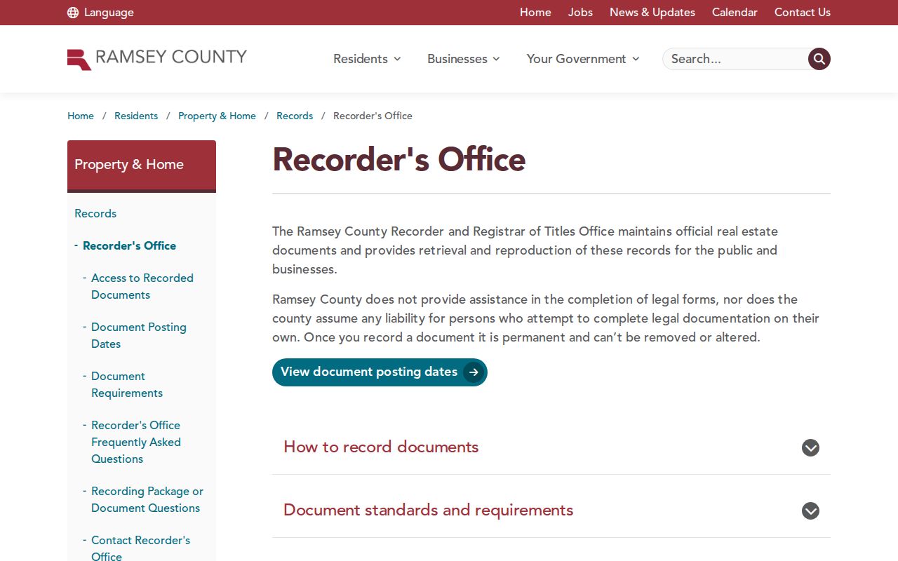
The county office is the fallback when an online index result points to older books, images, or a tract path.
Trace Shoreview Previous Residents Through Deeds
Use the deed chain to follow the parcel backward, not to label every name as a resident. First locate the current parcel in the county property lookup or MapRamsey, then preserve the parcel ID and legal description. Search the relevant recorded instrument, note its date and document number, and use its grantor and grantee fields to locate the earlier link. Trustees, estate representatives, companies, and attorneys can appear in a chain, so the role on the instrument matters.
- Open the Ramsey property tax and value lookup and select the matching parcel under Property Search Results.
- Copy the parcel ID and legal description, then confirm spatial context with MapRamsey.
- Search RecordEASE by the supported address, legal-description, grantor, grantee, or index route and record the document number and date.
- Read the recorded instrument and its reference-document field before moving to the earlier transfer.
- For older or incomplete online results, ask the Recorder’s resource center about tract books, index books, or image groups.
- Grantor
- The party transferring or giving an interest in a recorded instrument.
- Grantee
- The party receiving an interest named in that instrument.
- Chain of title
- A dated sequence of recorded interests affecting a parcel, assembled from instruments rather than assumed from one screen.
- Legal description
- The recorded land description that helps connect a parcel when a street address is incomplete or has changed.
Shoreview Parcel History Has Limits
Ramsey County’s Tax Valuation by Parcel Data covers 1998–2019. It supplies tax year, parcel ID, address, city and state, property type, and current-oriented taxpayer fields. That makes it useful for checking whether a parcel identifier or address persisted across a period. It is not a complete prior-owner roll, so a researcher should not turn its current-oriented name field into a continuous household history.
MapRamsey adds current and historic aerial or oblique imagery, parcel geometry, boundaries, and nearby features. Compare a visible site change with the tax year and an instrument date, then describe it as a physical change rather than a move. Aerial context is especially helpful where a cottage area became year-round development, but it cannot replace a recorded deed or a dated directory listing.
The county valuation dataset shows the maintained parcel-data route.
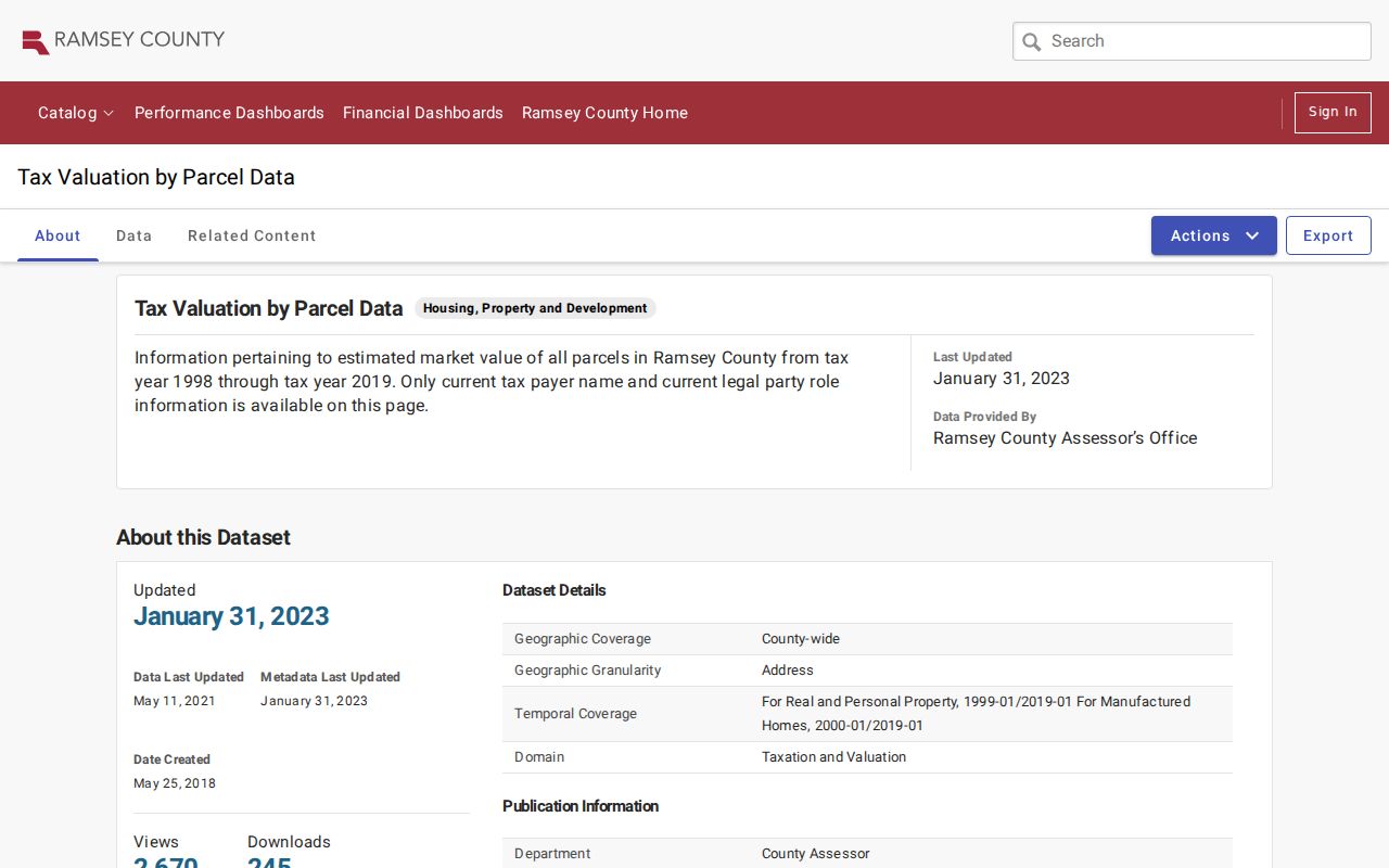
Use a parcel record as dated context, then verify any transfer in the Recorder index.
Note: A taxpayer, a deed transferee, and an occupant are separate roles that should remain separate in a house-history note.
Shoreview Previous Residents in Phone Books
The MNHS Ramsey County telephone-directory finding aid is the clearest Shoreview household resource. It lists Shoreview holdings from 1958 through 2011, with year-by-year differences in print, microfiche, duplicate copies, and yellow-only entries. A white-page entry can provide a dated name, number, and street lead. A yellow-page entry is arranged by subject and may identify a business or service instead, so it cannot be read as a household listing.
Some years are especially format-sensitive. The finding aid identifies yellow-only examples in 1960 through 1962, 1968, 1985, 1987, and 1988, while 1994 and 1995 are fiche. Ask for the shelf or fiche reference rather than assuming a searchable scan exists. The paid MNHS directory search request can search one person or business in up to five years in one city, with a stated processing fee and research charge.
The telephone-directory finding aid shows the format and year details needed before requesting a volume.

The Shoreview branch can provide research equipment and staff routing, but no dedicated official directory or obituary collection page was located.
Shoreview Past Residents and Census Context
Minnesota Historical Society’s state-census guidance lists territorial censuses from 1849 through 1857 and state censuses for 1865, 1875, 1885, 1895, and 1905. The 1895 index currently includes Ramsey County. MNHS People Search also covers record-specific historical material such as birth, death, veterans, and census indexes. These records supply household context, but their geography can predate the modern city and their transcriptions require a county, family, and spelling check.
A useful household sequence is dated telephone entry, nearest available census context, deed or plat, and current parcel geometry. Record the source date beside each item. A white-page listing can establish a listing in a particular year, while a census entry can establish a household in its census geography. Neither is a timeless statement about the address.
The MNHS census guide identifies the official state-census route and its historical limits.
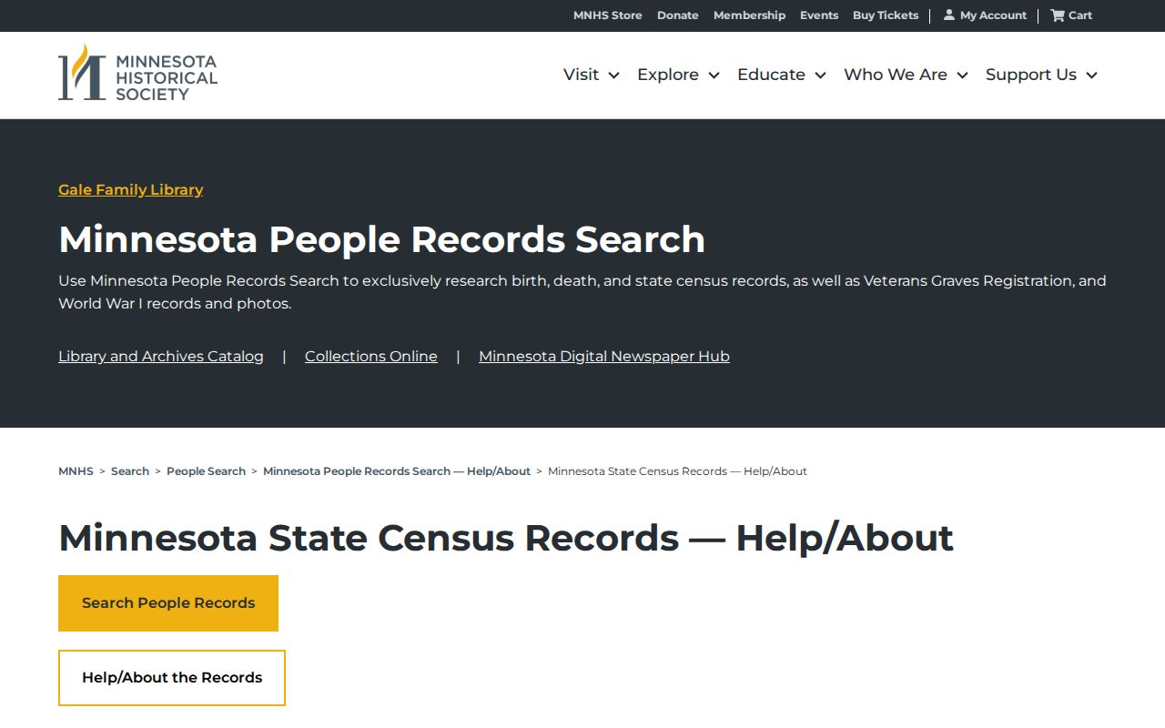
Use the census as a dated household layer alongside, rather than in place of, Shoreview’s later address records.
Shoreview Heritage Families Add Context
The Shoreview Historical Society offers a different kind of evidence: newsletters from 1991 forward, oral histories, an audio driving tour, the Lepak/Larson House, and Heritage Families stories. Its examples include the Lundberg family’s 1906 arrival and multi-generation Bucher family history, alongside Croatian, Polish, Canadian, and French connections. That material can explain a family’s local relationship or a neighborhood’s development, but it is historical testimony, not proof of a present address.
Shoreview’s development history helps choose the next source. Voters approved incorporation in 1957; farms developed south to north, older lake cottages shifted toward year-round use, and I-694 accelerated postwar change. By the end of 2000, the historic plan says roughly 95 percent of the city’s 12.75 square miles had been developed. Use those eras to select directory years, aerials, permits, plats, and deeds.
Shoreview Previous Residents Need Gaps Named
The Library of Congress Sanborn guide explains how fire-insurance maps can be searched by place, edition date, sheets, and notes. The research did not locate a Shoreview-specific Sanborn sheet. Saint Paul has regional coverage, but it should not be presented as a Shoreview parcel record. Likewise, no continuous prior-resident roll, complete reverse-directory run, or official street-renaming chronology was found.
When a historic address fails, compare the dated telephone listing, historic imagery, plat or deed legal description, and current street context. Call the result a reconstruction when those sources are being connected. Minnesota State Archives, MNHS, the Recorder resource center, the Shoreview Building Division, and the historical society are the documented fallback channels.
Minnesota State Archives is the official catalog and access route when a local finding aid has not been identified.

An archive inquiry can narrow a missing local record without assuming that an unlisted collection does not exist.
The Sanborn search guide describes the map method without claiming a missing local sheet.
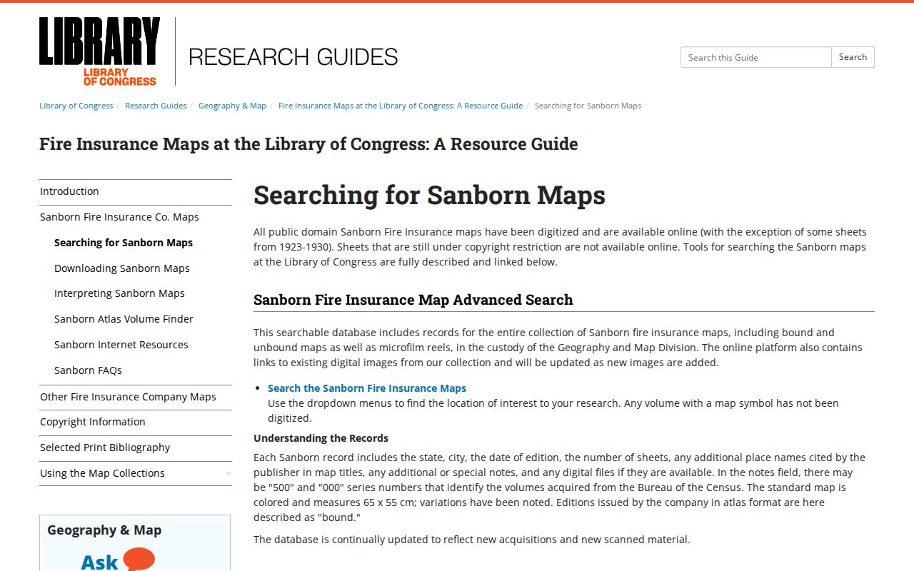
The absence of a local sheet is itself useful, because it directs the search back to dated deeds, directories, plats, and aerials.
Shoreview Previous Residents, Used Carefully
For a former household, label each finding by what it actually confirms: a recorded transfer, a dated directory entry, a parcel record, a permit event, or historical testimony. That prevents an estate transfer, tax-mailing field, or contractor application from becoming an unsupported claim about who lived there. Ramsey’s city, county, and archive sources each have a purpose, and the strongest history uses more than one.
Lawful use. Shoreview house-history research is appropriate for family history, estate questions, and personal curiosity. Do not use records or a past address to stalk, harass, or harm any person.
Note: Keep the source date, document number, shelf reference, or parcel key with every past-resident finding so another researcher can check it.